
Cirrus
Cirrus clouds are thin and wispy. They’re considered a high cloud because you’ll find them way up high in the sky, usually above 20,000 feet. These white streamer-like clouds are made up of ice crystals. If you gaze up and see a cirrus cloud, you’re probably having clear weather, but they can also indicate that some rain or other weather change might be on its way. Did you know a cirrus cloud can usually tell you which direction the wind is blowing? Cirrus clouds commonly point in the same direction as the wind!
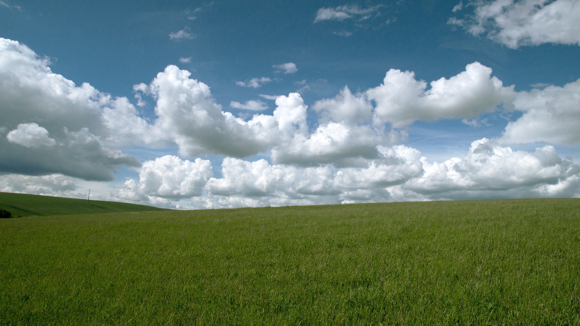
Cumulus
Cumulus clouds are big, lumpy, and vertical. They might remind you of some fluffy white cotton balls! Cumulus clouds are a low-level cloud, meaning they happen below 6,500 feet. These puffy clouds are made of liquid water droplets, ice crystals, or a mixture of the two. While they usually show up during nice and sunny weather, the weather they bring is based on their height and size. If they grow upward into a very tall and dense cloud that is bigger at the top than the bottom, that is called a cumulonimbus cloud. A cumulonimbus cloud can produce thunder, lightning, hail, heavy rain, and even tornadoes!
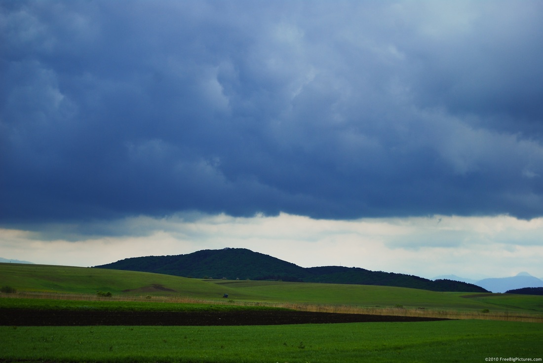
Stratus
Stratus clouds are horizontal, smooth, and layered. They usually will cover up most of the sky like a big sheet or blanket. These clouds are the lowest cloud type and can even appear on ground level as fog or mist. Stratus clouds are composed of liquid water droplets and supercooled droplets. When you spot a stratus cloud, that usually means you’re in for a chilly and overcast day. You might even be in for some drizzle or light snow.